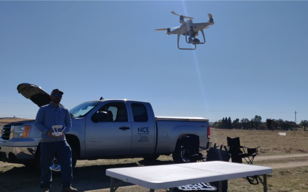

North Coast Engineering is celebrating 3 years of successful implementation of our in-house drone based aerial mapping program. To date we’ve flown 23 successful projects totaling over 1,800 acres of ground surveyed. Recently, we have upgraded from the DJI Phantom 4 Pro V2.0 to the DJI Phantom 4 RTK. This upgrade allows us to significantly decrease the amount of ground targets needed while still maintaining the same survey level accuracy.
Our first project after acquiring our new drone was our largest project to date, in which we covered 723 acres in a 5 hour flight.
As always we implement a robust quality control procedure to ensure the accuracy of our aerial survey meets the level of quality our clients have come to expect from us.
For more information on our survey department, check out our survey page!
For more information and key features on the DJI Phantom 4 RTK, check out their website!
For Over 40 Years
Our survey department has been providing services for both private and public clients through out California.
Mapping Services
Construction Staking
land surveys
alta's (American Land Title Association Surveys)


meet our team

Greg Jaeger, PE
President & CEO

John Luttman, PE
Vice President & Principal Engineer, QSD/P

Tucker Sanders, PLS
Vice President & Survey Manager