Robert nichols ranch flood study
size
80.4 Sq Miles
location
Monterey County, CA
completion year
2012
About this Project
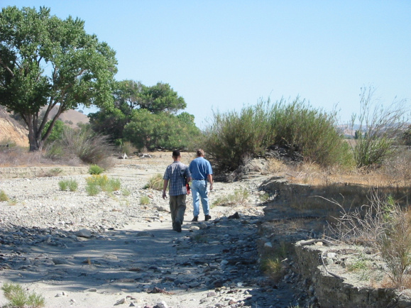
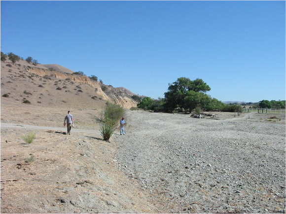
North Coast Engineering prepared a 100 Year Flood Plan Analysis of the Big Sandy Creek for Robert Nichols Ranch. The purpose of this report was to determine the 100-year flood limits and flood elevations of Big Sandy Creek at Nichols Ranch. The base flood elevation was determined and used to process a LOMA for the residence. Nichols Ranch is located in an unincorporated part of Monterey County on Indian Valley Road approximately 1.5 miles north of the San Luis Obispo County line.

![Intel(R) JPEG Library, version [2.0.16.48]](https://northcoastengineering.com/wp-content/uploads/2020/11/google-image-sitescaled.jpg)

CLIENT
- ROBERT NICHOLS
PROJECT TYPE
- FLOOD MAPPING
SENIOR STAFF / PROJECT MANAGERS
- GREG JAEGER, PE
- JOHN SANDERS, PLS
PROJECT ENGINEER
- JOHN LUTTMAN, PE
services used
civil engineering
- Waterway Modeling/ Flood Studies and Mapping
surveying & mapping
- Boundary Survey
project development
No project development services used for this project.

For A Full list of services
- Civil Engineering
- Land Surveying & Mapping
- Construction Staking
- Land Development
- Stormwater Management
HUERHUERO CREEK FLOOD STUDY
SAN MARCOS DAM INUNDATION MAP
SHANDON COMMUNITY PLAN FLOOD ANALYSIS
ALAMO SPRINGS SOLAR RANCH FLOOD CONSTRAINT
Have A Project in Mind?
We would love to hear from you and show you what we can do for your next project.
nce@northcoastengineering.com
725 Creston Rd Suite C Paso Robles, CA 93446
+1 (805) 239 – 3127
