survey
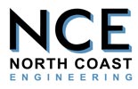
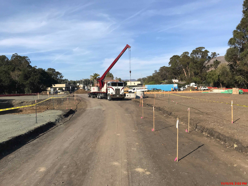
CONSTRUCTION STAKING
Construction staking is a critical part of any project.


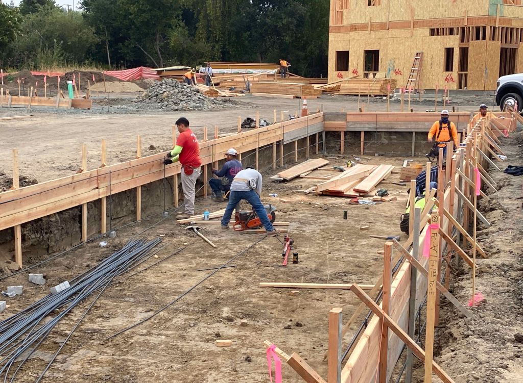
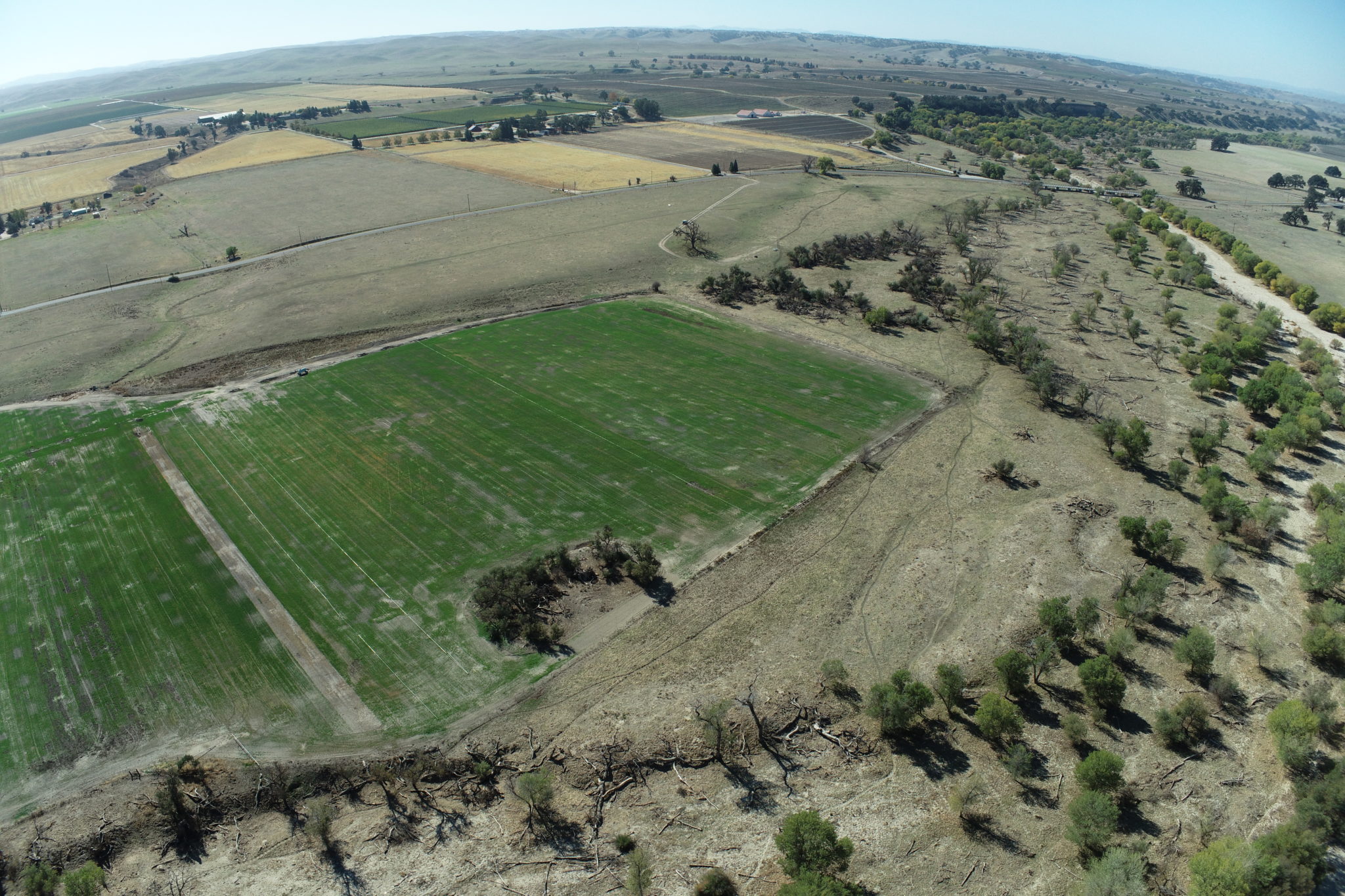
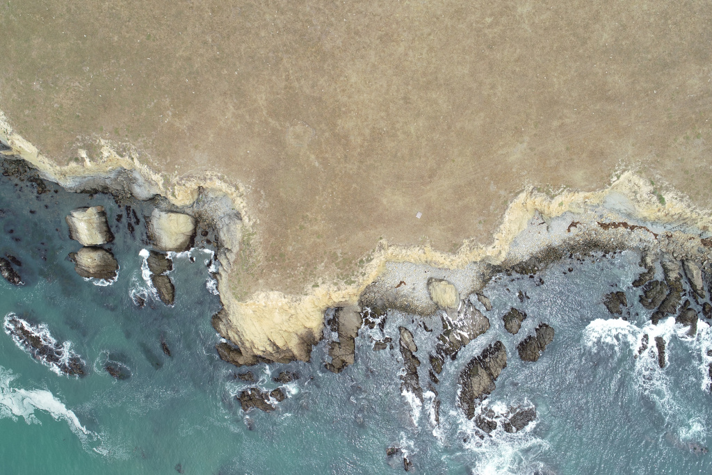
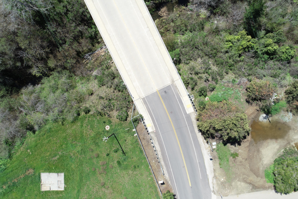
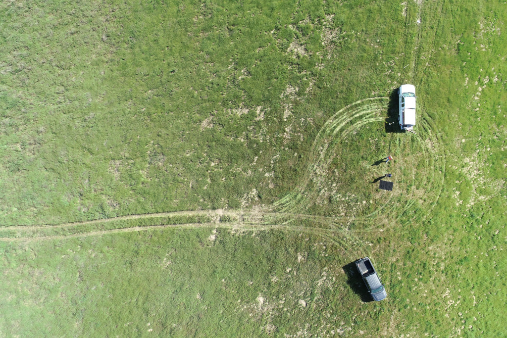
AERIAL SURVEY (DRONE)
North Coast Engineering utilizes Two DJI Phantom 4 Pro V2 to complete our own in-house aerial mapping program achieving survey quality accuracy over large-scale areas previously reserved for conventional aerial mapping. We implement a robust quality control policy by double occupying all our aerial targets and taking spot checks across the entire property to ensure our aerial survey’s accuracy.
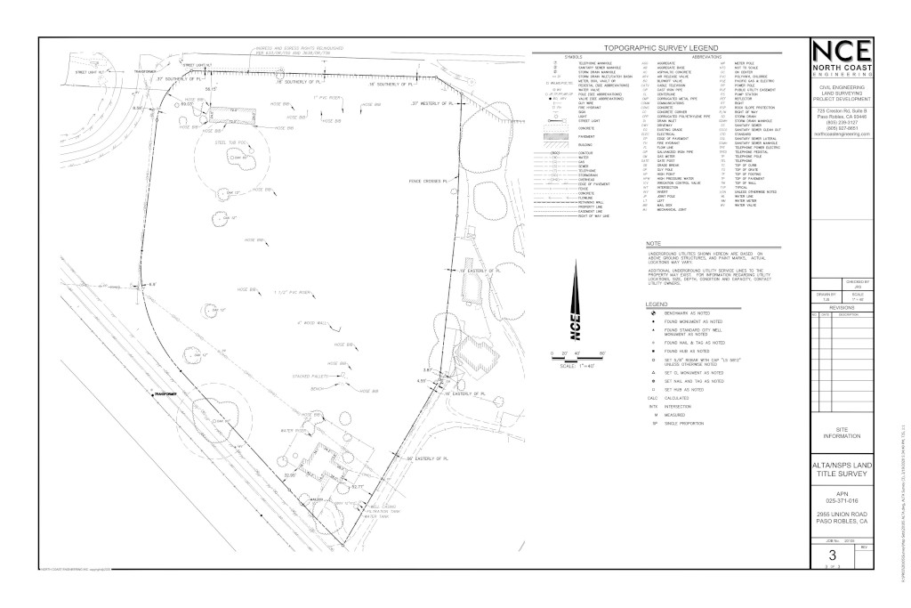
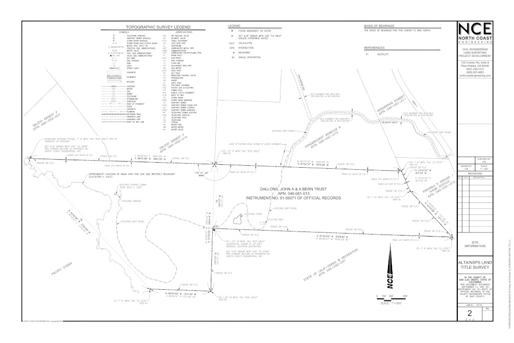
TOPOGRAPHIC MAPPING
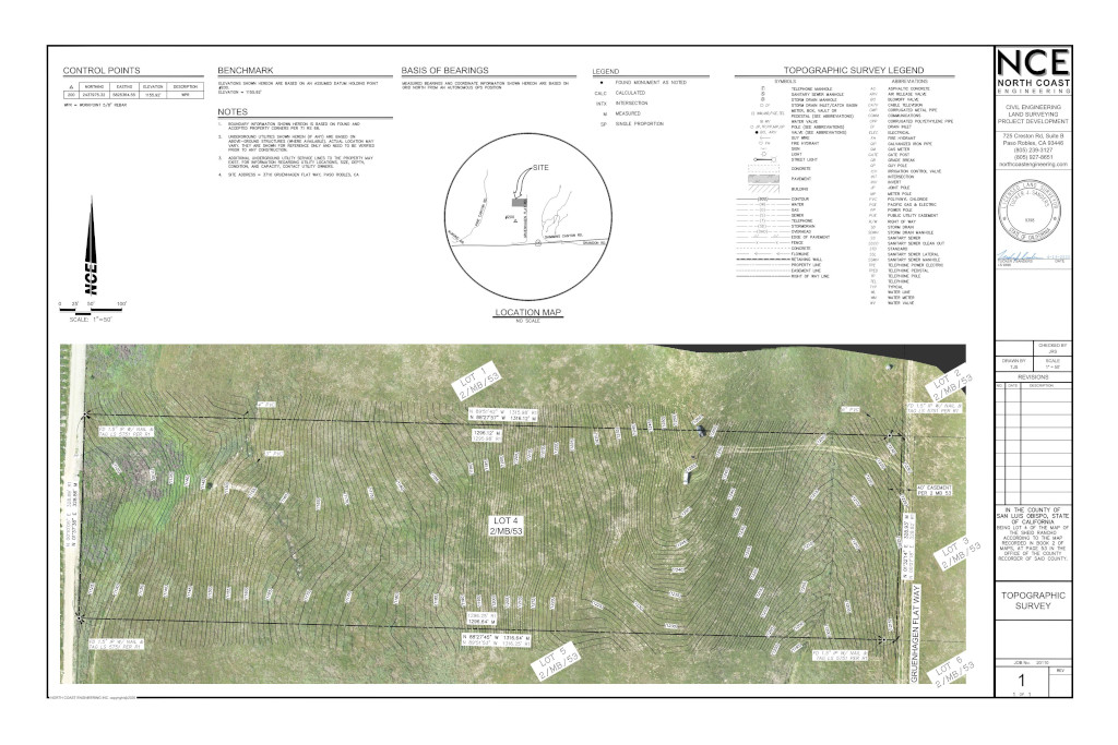
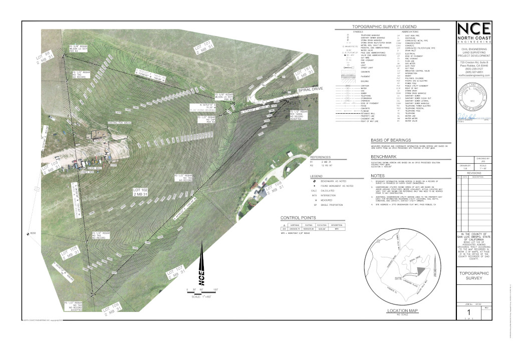
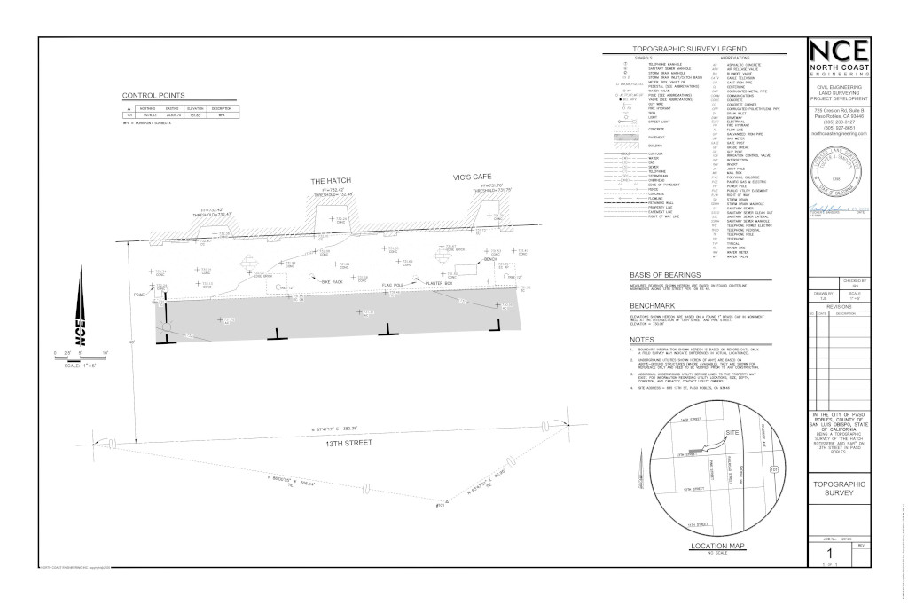
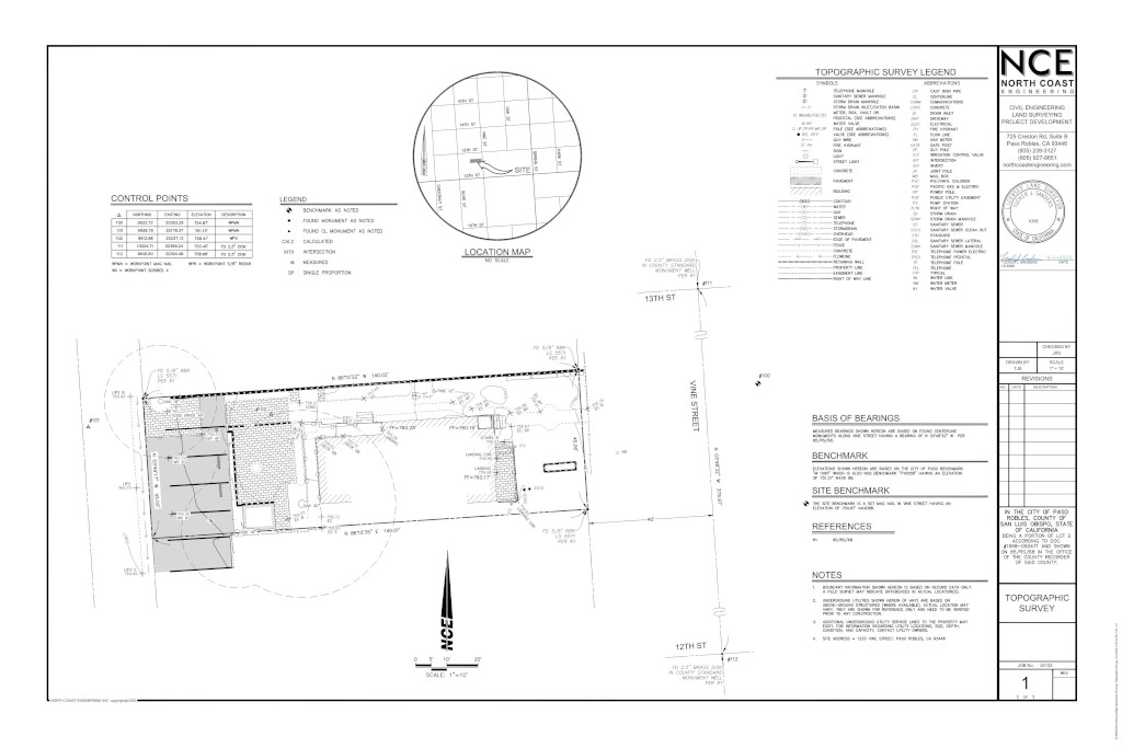

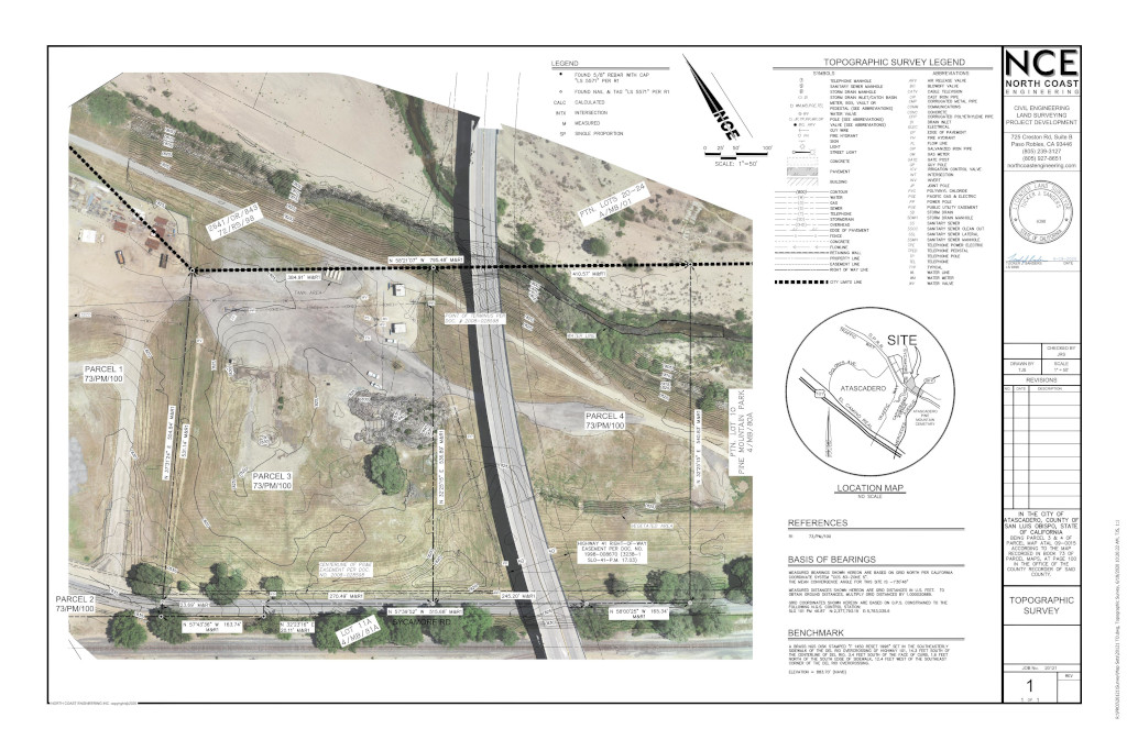
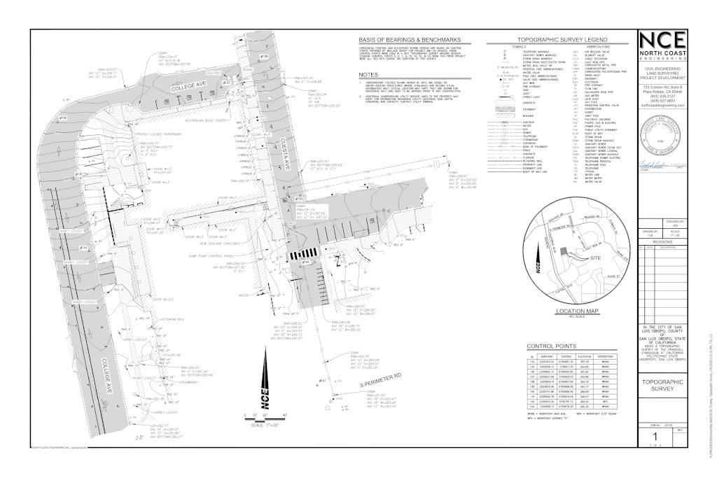
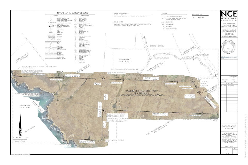
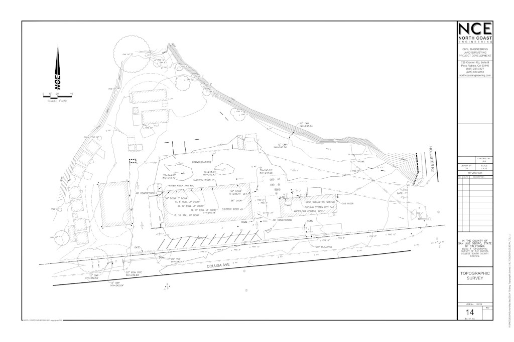
North Coast Engineering has been providing mapping services to both our private and public sector clients for over 40 years.
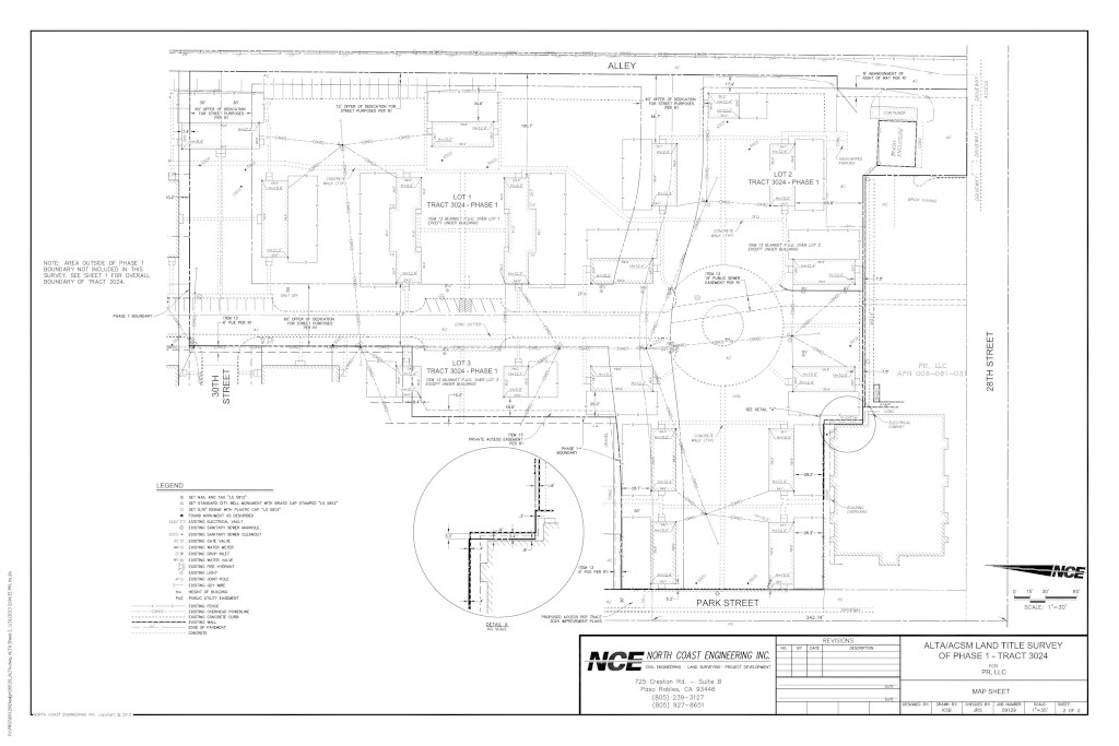
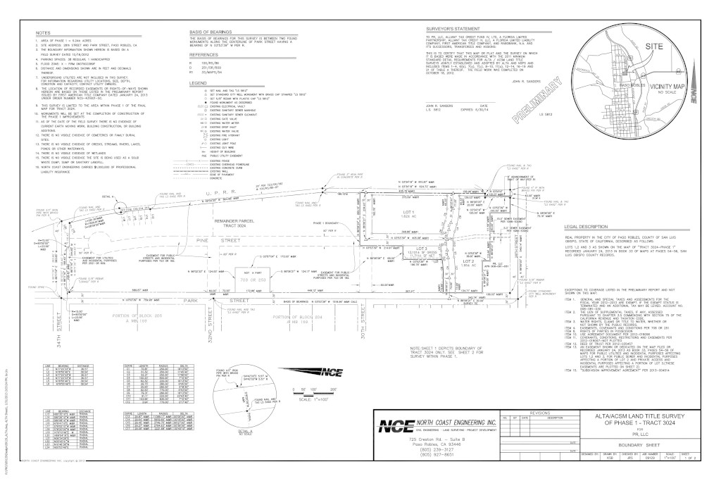
ALTA’S
(AMERICAN LAND TITLE ASSOCIATION SURVEYS)

Have A Project in Mind?
We would love to hear from you and show you what we can do for your next project.
nce@northcoastengineering.com
725 Creston Rd Suite C Paso Robles, CA 93446
+1 (805) 239 – 3127